Here are the pix of the fire, this was taken on day 2.
This is just outside the community entrance, my neighbor and I drove out to see what was going on. This pic is facing west, our community is on the north side of the road, the fire had burned on the south side of the road, all the way to the road.
Yup, that’s me, I figured I would check the mail while I was there. :) Both trucks you see belong to the fire fighters, we had local fire fighters and the forest service there. We also had 5 heavy tankers flying in from New Mexico and 3 helicopters all dropping fire retardant on the fire, plus all the spotter planes.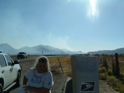
This is looking east, it’s hard to tell, but the dark stuff on the other side of the road is where it burned, the whole mountain in the background is burned.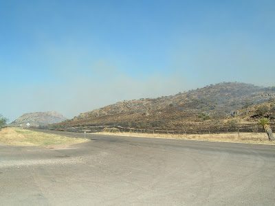
Looking west again, the fire is still burning here, you can see the smoke.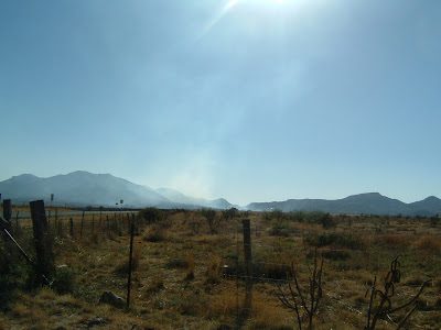
Still looking west, more smoke.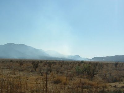
My neighbor and I drove up inside the community to a high spot, it doesn’t really show up in the picture, but the road from the previous pictures was visible (to our eyes) going left to right. The mountain in the background is on fire in this pic.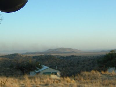
You can see the smoke a little easier here.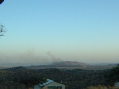
It’s hard to see in this pic, but this mountain is on fire, there is a line of fire going all the way across the ridge. It was getting dark and the camera could not capture the images very well.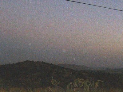
The fire seems to be under control now, I can still smell a little smoke, it’s like we live near a BBQ joint! :) Last I heard, as of yesterday, the fire was 65% contained, I have to assume they have gotten it more contained by now. Some 50,000 acres burned, but there was no loss of life, no injuries, no structures lost, kudos to the brave men and women who fought the fires and kept all of us safe and protected our homes.